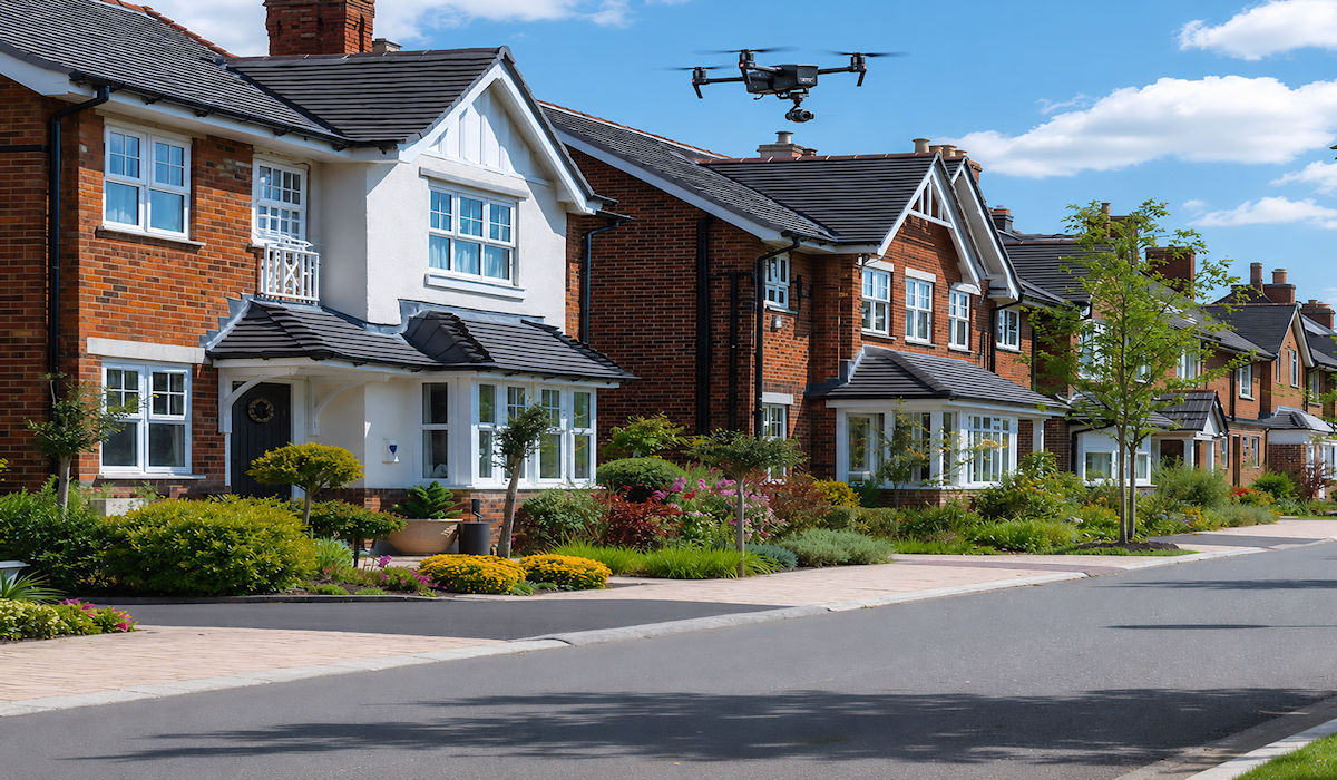
Drone inspection services provide a fast, safe and highly effective way to assess roofs, buildings, land and construction sites. Using high-resolution aerial photography and video, drones can capture detailed views of areas that may otherwise be difficult, costly or dangerous to reach using ladders, scaffolding or access platforms.
Whether you are a homeowner, estate agent, conveyancer, property manager or construction professional, a drone inspection can provide clear visual evidence to support maintenance, purchasing, repair and development decisions. Inspections can be completed with minimal disruption while providing a comprehensive overview of the property.
Drone inspections provide a safer and more efficient way to identify visible defects, document property conditions and make informed maintenance decisions.
Professional Drone Inspection Services
Traditional roof and building inspections may require people to work at height or access unstable areas. A drone can inspect roof ridges, valleys, chimneys, gutters, flashing, cladding and upper elevations from a safe distance. This is particularly valuable after storms, suspected roof damage, water ingress or structural deterioration.
- Safer inspections without unnecessary work at height
- Detailed high-resolution photographs and video footage
- Faster access to roofs and difficult-to-reach areas
- Reduced need for scaffolding and specialist access equipment
Professional drone imagery can help identify cracked, slipped or missing tiles, damaged flashing, blocked guttering, loose cladding, surface deterioration and incomplete repairs. The resulting images create a clear visual record that can be reviewed and shared with property owners, contractors, insurers and other relevant professionals.


Drone inspections are also useful for checking completed repairs, monitoring construction progress and surveying gardens, driveways, commercial premises, land and property boundaries.
They provide a practical and cost-effective way to obtain detailed aerial information while reducing disruption and helping clients make informed decisions about their property.
