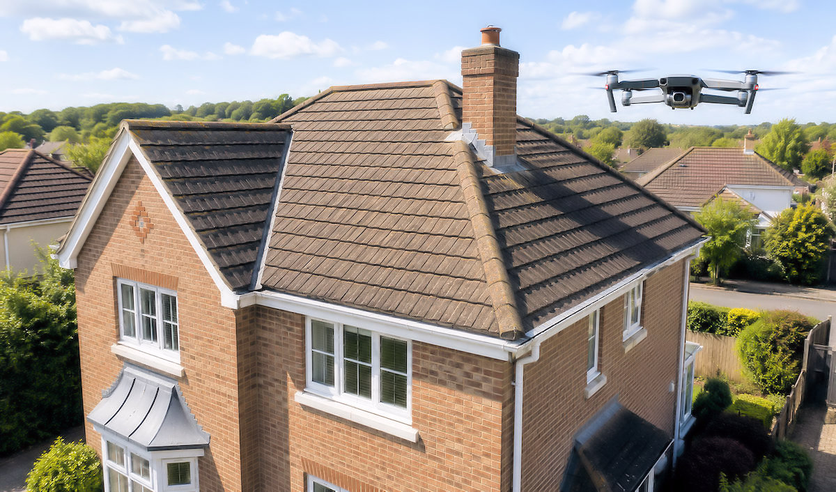
We’re Commited To Providing
High Quality Drone Imagery Services ...
No matter the property, we are able to capture your roofing images and create quality video footage for you to examine and inspect!
- Image Stills
- Video Footage
- Prepared Report - PDF
- Fit To Your Timeline
Whatever your property needs, SkyFocusUK can deliver all your property imagery and video requirements!
Need help or support? Use the contact button to send us your enquiry!
What We Offer
-
High Quailty Ariel Imagery
01Clear detailed drone photos and video footage for you to inspect ...
-
Detailed Property Views
02Clear views of roof buildings in difficult to reach areas ...
-
Fast Turnaround
03Receive your editted images and videos to share for your use ...
Land, Gardens and External Areas ...
Drone imagery can provide a clear overhead view of gardens, grounds, access routes, outbuildings, boundaries and areas of open land.
From an elevated position, it becomes much easier to understand how the different parts of an external space connect and to assess features that may be difficult to view fully from ground level.
The service can help homeowners, landlords, landscape contractors, developers and landowners gain a more complete understanding of the layout, scale and general condition of a site.
High-resolution photographs and video can show lawns, planted areas, patios, pathways, driveways, fencing, walls, sheds, garages, drainage routes and surrounding land within a single visual record.
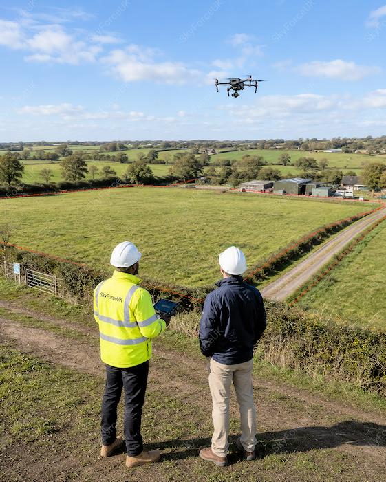
This can be particularly useful when planning landscaping work, garden redesigns, extensions, new access routes, boundary improvements or changes to the use of an outdoor area. The imagery can help clients and contractors discuss ideas more clearly, identify potential constraints and make better-informed decisions before work begins.
For larger gardens, estates or parcels of land, aerial imagery can also reveal uneven ground, overgrown areas, damaged boundaries, restricted access points, drainage concerns and other visible features that may require closer attention. It may assist with maintenance planning, contractor quotations, property management and the preparation of site plans.
Benefits include …
- Clear aerial views of gardens and land updates from above
- Better understanding of boundaries and site layout
- Useful imagery for landscaping and improvement projects
- Support for planning discussions and contractor quotations
- Visual records of large or difficult-to-view areas
Drone imagery can also create a valuable record of the condition of grounds and boundaries at a particular point in time. This can support before-and-after comparisons, document completed landscaping work and provide useful visual evidence for future maintenance, tenancy, development related discussions.